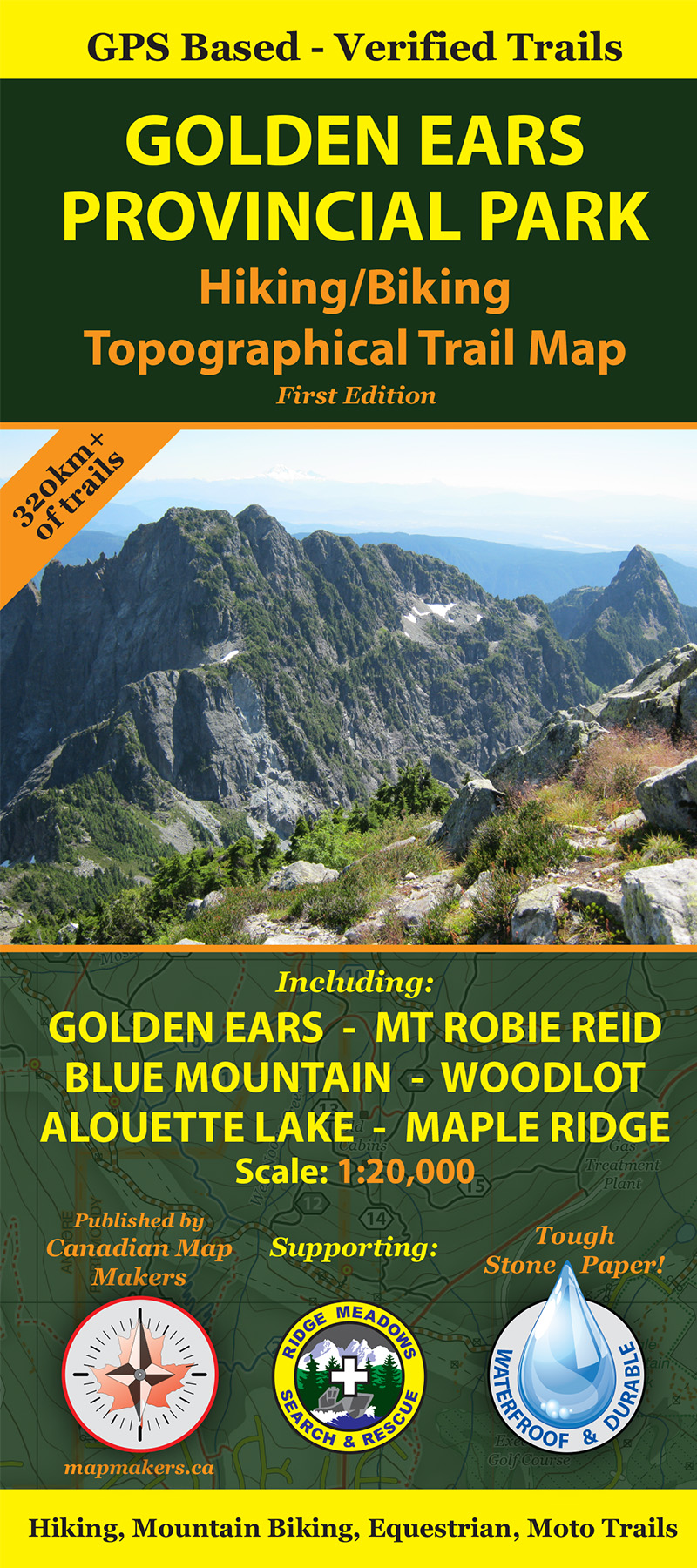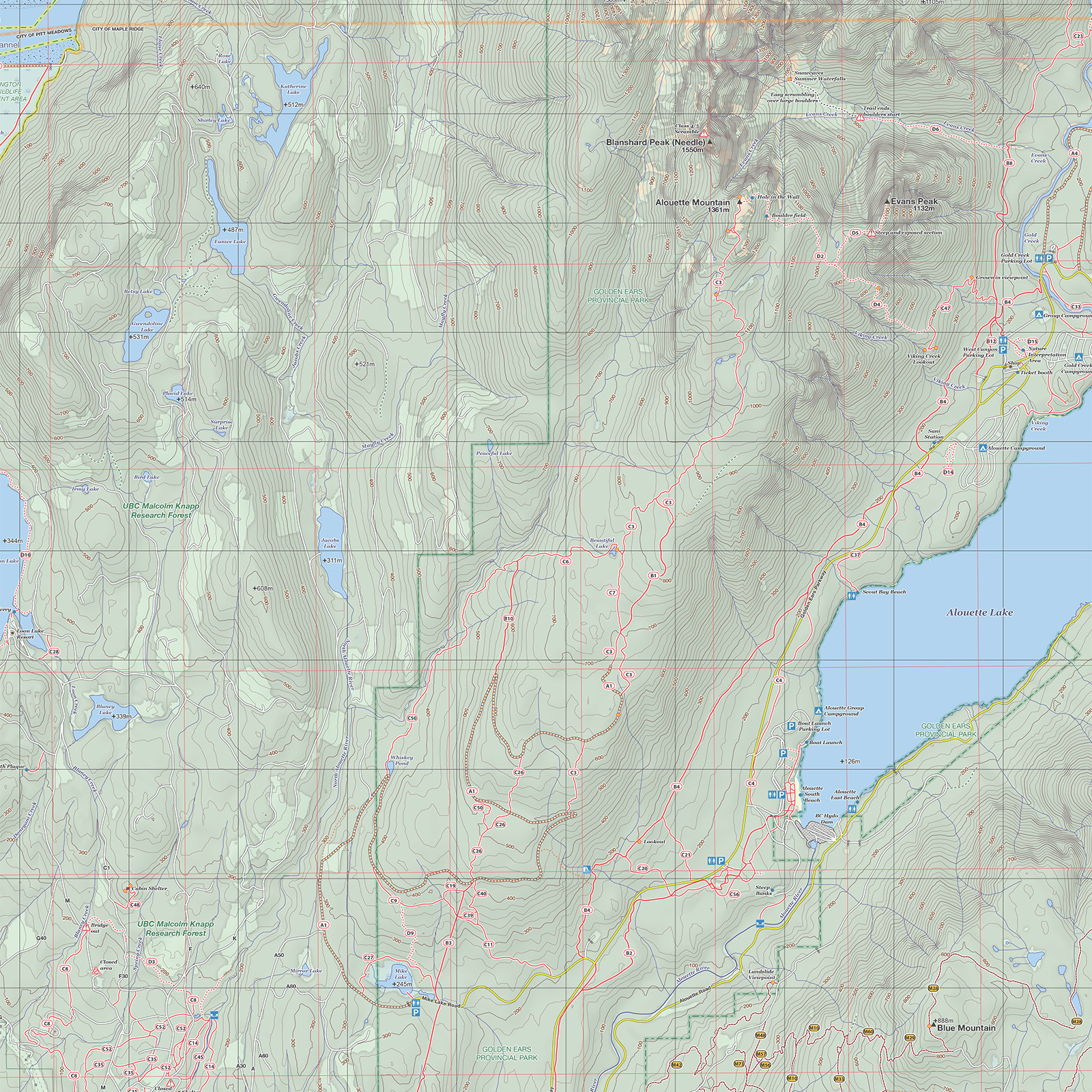
Produced by Canadian Map makers, this outdoor adventure map is the first comprehensive trail map covering GOLDEN EARS PROVINCIAL PARK. It includes all the park trails, Mount Robie Reid, Blue Mountain Moto Trails, Woodlot Mountain Biking Area, Alouette Lake, Stave Lake (West) and Northern Maple Ridge. The map includes over 190 named trails!
![]()
-> Double sided, large format: 26.5 inches x 39 inches.
-> Printed on high quality, water resistant, tough stone paper.
-> Highly detailed, navigation grade map printed at a scale of 1:20,000.
-> Trails verified on the ground with GPS equipment.
-> Over 320km of hiking, cycling, mountain bike and moto trails. And many more forest service roads!
-> Detailed trail legend with over 190 named trails.
-> Trails graded according to usage and condition.
-> UTM and Longitude/Latutude grids and magnetic declination information.
-> High Quality Cartography.
-> West Boundary: Pitt Lake.
-> South Boundary: Dewdey Trunk Road.
-> East Boundary: Stave Lake.
-> North Boundary: Mount Robie Reid / Half Moon Beach.
-> Maps donated to Ridge Meadows Seach and Rescue for all their operational needs.
![]()
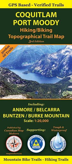
The Tri-Cities Map is the companion map to the Golden Ears Map covering the area immediately the the west, all the way to Indian Arm and up to Widgeon Lake. Go to http://tricitiesmap.com/ for more information. This map is also available on the OVERDUE App.
![]()
Both the Tri-Cities Map and Golden Ears map are produced by Canadian Map Makers. We also do custom map design. Please check out our website if you need any type of custom map: https://www.mapmakers.ca/
![]()
![]()
![]()